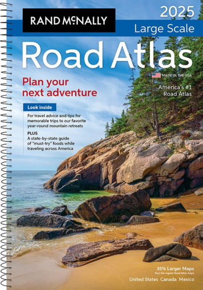
The Rand McNally Road Atlas has been the essential, trusted tool for road travelers for more than 100 years. This spiral-bound, updated 2025 Large Scale edition contains maps of every U.S. state, Canadian province, and an overview map of Mexico, that are 35% larger than the standard atlas version. The atlas also includes detailed inset maps of over 375 cities and 28 national parks, plus a comprehensive, unabridged index. Road construction and conditions, contact information for every U.S. state and province are conveniently located on map pages. A mileage chart shows distances between 77 North American cities and national parks along with a drving times map. The tough spiral binding allows the book to lay open easily.
Additional Features:
- Rand McNally presents our editor's favorite year-round mountain retreats, with travel advice and tips from places to stay, family activities, and where to eat.
- A state-by-state guide of "must-try" foods worth a road trip detour.
- A convenient page locator map that makes it quick and easy to find the map you need.
- Tell Rand! As much as we work to keep our atlases up to date, conditions change quickly and new construction projects begin frequently. If you know of something we haven't captured in our atlas, let us know at printproducts@randmcnally.com.
- Tourism websites and phone numbers for every U.S. state and Canadian province are printed on map pages.
- Made in the USA.
- Product Details: Spiral-bound