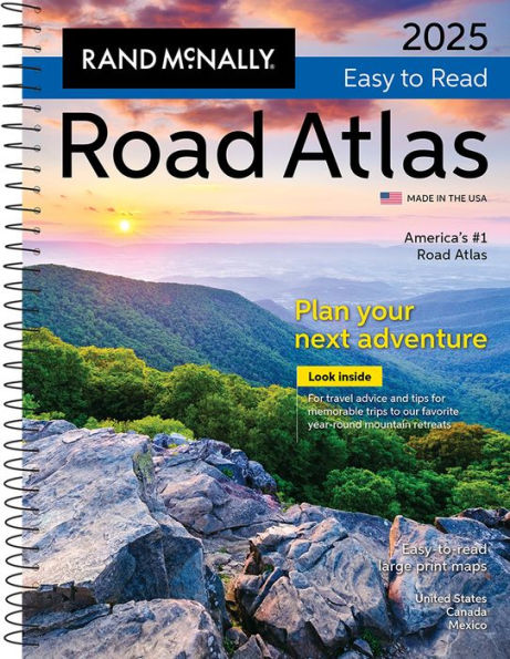
This updated 2025 midsize easy-to-read edition features large print maps of every U.S. state, Canadian province, plus an overview map of Mexico, in a convenient travel size that fits in a glove box. Included are detailed inset maps of more than 50 North American cities, plus a Mileage and Driving Times Map showing distance and approximate driving times between hundreds of cities. Spiral binding allows the book to lay open easily.
Additional Features:
- Rand McNally presents our editor's favorite year-round mountain retreats, with travel advice and tips from places to stay, family activities, and where to eat.
- Tell Rand! As much as we work to keep our atlases up to date, conditions change quickly and new construction projects begin frequently. If you know of something we haven't captured in our atlas, let us know at printproducts@randmcnally.com.
- Tourism websites and phone numbers for every U.S. state and Canadian province on map pages.
- Road construction and conditions contact information for every U.S. state and Canadian province.
- City index conveniently located on map pages.
- Made in the USA.
- Product Details: Spiral-bound