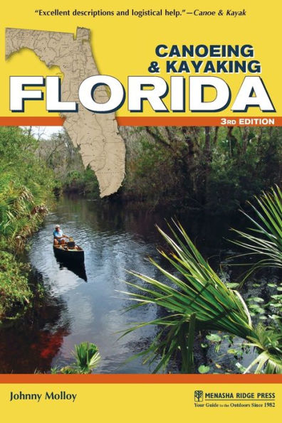
Canoeing & Kayaking Florida

Canoeing & Kayaking Florida

by Johnny Molloy
Canoeing & Kayaking Florida

Canoeing & Kayaking Florida

by Johnny Molloy

Paperback(Third Edition)

$18.95 
  • SHIP THIS ITEM
    Qualifies for Free Shipping
  • PICK UP IN STORE
    Check Availability at Nearby Stores

Related collections and offers


Overview

Get the authoritative guide to the waterways of Florida, featuring almost all of the state’s paddleable waterways in 78 river profiles.

From the exciting and beautiful runs of the Panhandle’s Econfina Creek to slower floats through wildlife-rich Everglades National Park, the best way to experience the Sunshine State is by paddle. Canoeing & Kayaking Florida is the most comprehensive guide to the best of Florida’s unique streams, springs, creeks, rivers, and coastal waterways. Written by acclaimed author and outdoors adventurer Johnny Molloy, the guidebook provides engaging and concise information, while offering carefully selected details vital to a successful paddling adventure.

For more than 30 years, Canoeing & Kayaking Florida has been a trusted source for paddlers. This updated edition presents new paddling destinations like Shingle Creek, where a swift stream swishes through a cypress forest; quiet, coastal Shell Creek; and the mighty Apalachicola River, with big sandbars, big hills, and a fast current. Those looking for still-water locales will enjoy secluded places such as Stagger Mud Lake.

Book Features

  • Details on 78 top paddling trips
  • New river profiles and updated maps and contact information
  • Ratings for solitude and scenery
  • At-a-glance data including river class, length, time, and more

Canoeing & Kayaking Florida is simply the best and most informative Florida paddling guide. Wet your paddle and whet your taste for outdoor adventure!


Product Details

ISBN-13: 9781634040303
Publisher: Menasha Ridge Press
Publication date: 11/22/2016
Series: Canoe and Kayak Series
Edition description: Third Edition
Pages: 348
Sales rank: 640,325
Product dimensions: 6.00(w) x 8.90(h) x 0.70(d)

About the Author

Johnny Molloy is a writer and adventurer based in Johnson City, TN. He has written more than 40 books about the outdoors, including hiking, camping, and paddling guidebooks; comprehensive guidebooks about specific areas; and true outdoor adventure books set throughout the Eastern United States. Molloy writes for various magazines and websites, and he is a columnist and feature writer for his local paper, the Johnson City Press.

Read an Excerpt

Silver River

Overview: Silver Spring, which feeds the Silver River, has long been a Central Florida tourist attraction. Located east of Ocala, the beautiful Silver River corridor below the springs is part of Silver Springs State Park. River access has been improved with the establishment of the park. Now you can follow the current downstream from the headspring to the Silver River’s confluence with the Ocklawaha, rather than beating your way upstream from the Ocklawaha all the way to the headspring. The Silver River is an Outstanding Florida Water.

Maps: Silver Springs State Park (Florida State Parks); USGS Ocala East, Lynne

Silver Springs State Park to Ray Wayside Access

  • Class: I
  • Length: 5 mi
  • Time: Varies
  • Gauge: Phone, online
  • Level: Spring fed
  • Gradient: 1 fpm
  • Scenery: A

Description: The Silver River is where the first glass-bottomed boats were used. And they are still used today to see the array of aquatic life below the water’s surface. I can still remember touring Silver Springs as a kid, looking down on another world. Nowadays, the headspring area and downstream to the Ocklawaha River are a state park. There is a fee-based canoe-and-kayak launch at the park’s main entrance at the headspring, and a free second launch (still requiring a park entrance fee) at the park’s campground entrance that requires a half-mile carry to the put-in. I have done both—pay the launch fee, it is worth it. Canoes and kayaks can be rented at the headspring.

Once on the river, you can enjoy spring water measured at 550 million gallons flowing per day. It is 2.0 river miles from the headspring launch to the carry launch. It is 3.0 more miles downstream to the Ocklawaha River through junglelike banks with waterweeds bordering the steady current. The takeout is downstream on the west bank of the Silver River, at Ray Wayside Park, which is reached via a short canal.

Shuttle: To reach the takeout at Ray Wayside Park from Exit 352 off I-75 in Ocala, drive east on FL 40. After 11.9 miles, bear right on Northeast 28th Lane. In 0.5 mile, reach the takeout before you reach the bridge over the Ocklawaha River. GPS Coordinates: 29.214034, -81.992374

To reach the put-in at Silver Springs State Park, backtrack 3.9 miles west on FL 40 to the park’s main entrance, on your left. Head to the paddlecraft-rental and launch area. GPS Coordinates: 29.213189, -82.055377

Gauge: The spring-fed Silver River is paddleable year-round. Call Silver Springs State Park (352-236-7148) for the latest river conditions, and find real-time water levels and flow rates at waterdata.usgs.gov/fl/nwis/rt. The USGS gauge helpful in determining flow rates for any given day is Silver River near Ocala, Florida.

Table of Contents

Table of Contents
  • Dedication
  • Acknowledgments
  • Preface
  • Introduction
  • The Western Panhandle
  • The Central Panhandle
  • The Big Bend
  • The Northern Peninsula
  • The Central Peninsula
  • The Central Highlands
  • The Atlantic Coast
  • The Southwest Gulf Coast
  • The Everglades
  • Appendixes
From the B&N Reads Blog

Customer Reviews