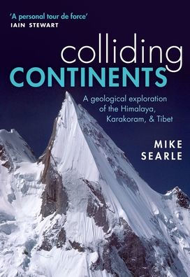
Colliding Continents: A geological exploration of the Himalaya, Karakoram, and Tibet

Colliding Continents: A geological exploration of the Himalaya, Karakoram, and Tibet

by Mike Searle
Colliding Continents: A geological exploration of the Himalaya, Karakoram, and Tibet

Colliding Continents: A geological exploration of the Himalaya, Karakoram, and Tibet

by Mike Searle

Paperback(Reprint)

$26.99 
  • SHIP THIS ITEM
    Qualifies for Free Shipping
  • PICK UP IN STORE
    Check Availability at Nearby Stores

Related collections and offers


Overview

The crash of the Indian plate into Asia is the biggest known collision in geological history, and it continues today. The result is the Himalaya and Karakoram - one of the largest mountain ranges on Earth. The Karakoram has half of the world's highest mountains and a reputation as being one of the most remote and savage ranges of all. In this beautifully illustrated book, Mike Searle, a geologist at the University of Oxford and one of the most experienced field geologists of our time, presents a rich account of the geological forces that were involved in creating these mountain ranges. Using his personal accounts of extreme mountaineering and research in the region, he pieces together the geological processes that formed such impressive peaks.

Product Details

ISBN-13: 9780198798514
Publisher: Oxford University Press
Publication date: 12/26/2017
Edition description: Reprint
Pages: 480
Product dimensions: 6.70(w) x 9.60(h) x 1.00(d)

About the Author

Mike Searle, Professor of Earth Sciences, Oxford University

Mike Searle has worked for the last 30 years on the geology of the Himalaya, Karakoram, Tibet, and Southeast Asia. He combines geological field investigations with mountaineering expeditions to the greater ranges, and has published more than 130 papers in peer-reviewed journals. He is the author of Geology and Tectonics of the Karakoram Mountains (Wiley-Blackwell, 1991) and has co-edited four books for the Geological Society of London. He has published a Geological Map of the Mount Everest region, Nepal and South Tibet (2003, 2007) and has given numerous talks about the region.

Table of Contents

Preface1. Oceans and continents2. Continents in collision: Kashmir, Ladakh, Zanskar3. The dreaming spires of the Karakoram4. Pressure, temperature, time, and space5. Frozen rivers and fault lines6. Northwest Frontier: Kohistan, Hindu Kush, Pamirs7. Faces of Everest8. Mapping the geology of Everest and Makalu9. Mountains and Maoists: Annapurna, Manaslu10. Around the bend: Nanga Parbat, Namche Barwa11. Roof of the World: Tibet, Pamirs12. Extruding Indochina: Burma, Vietnam, Yunnan, Thailand13. The day the Earth shook: Sumatra-Andaman earthquake 200414. The making of Himalaya, Karakoram, and Tibetan plateauPostscriptAcknowledgementsAppendix 1: BasicsAppendix 2: GlossaryAppendix 3: Local glossaryAppendix 4: ChronologyNotesIndex
From the B&N Reads Blog

Customer Reviews