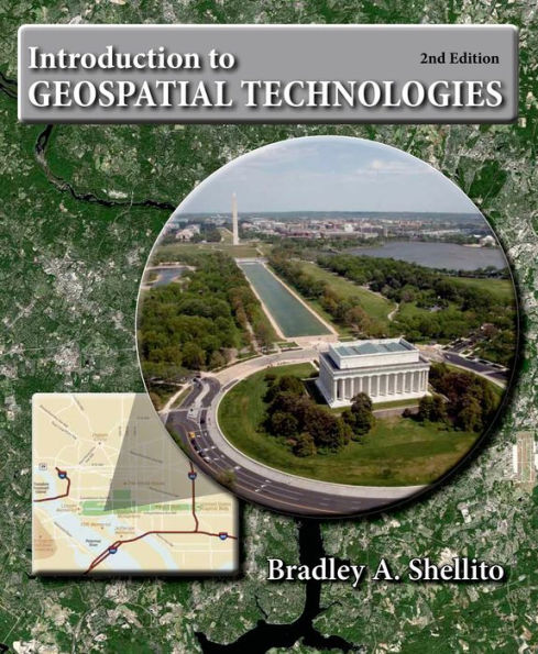
Introduction to Geospatial Technologies / Edition 2

Introduction to Geospatial Technologies / Edition 2

by Bradley A. Shellito
ISBN-10:
146413345X
ISBN-13:
9781464133459
Pub. Date:
12/01/2013
Publisher:
Freeman, W. H. & Company
ISBN-10:
146413345X
ISBN-13:
9781464133459
Pub. Date:
12/01/2013
Publisher:
Freeman, W. H. & Company
Introduction to Geospatial Technologies / Edition 2

Introduction to Geospatial Technologies / Edition 2

by Bradley A. Shellito
$131.75
Current price is , Original price is $131.75. You
$131.75 
  • SHIP THIS ITEM
    This item is available online through Marketplace sellers.
  • PICK UP IN STORE
    Check Availability at Nearby Stores
$68.15 
  • SHIP THIS ITEM

    Temporarily Out of Stock Online

    Please check back later for updated availability.

    • Condition: Good
    Note: Access code and/or supplemental material are not guaranteed to be included with used textbook.

This item is available online through Marketplace sellers.


Overview

Chronicling the wide range of geographic technologies available to and used by geographers, Introduction to Geospatial Technologies helps you gain a basic foundation of knowledge while also obtaining hands-on learning, practical experience, and exposure to the relevant software.


Product Details

ISBN-13: 9781464133459
Publisher: Freeman, W. H. & Company
Publication date: 12/01/2013
Edition description: Second Edition
Pages: 560
Product dimensions: 7.50(w) x 9.00(h) x 0.80(d)

About the Author

Bradley A. Shellito is a geographer whose work focuses on the application of geospatial technologies.  Dr. Shellito has been a professor at Youngstown State University (YSU) since 2004, and was previously a faculty member at Old Dominion University.  He teaches classes in GIS, Remote Sensing, GPS, and 3D Visualization and his research interests involve using these concepts with a variety of real-world issues.  He also serves as YSU’s PI in OhioView, a statewide geospatial consortium.  A native of the Youngstown area, Dr. Shellito received his bachelor’s degree from YSU, his Masters from the Ohio State University, and his doctorate from Michigan State University.

Table of Contents

Part 1 Geospatial Data and GPS

 1. It’s a Geospatial World Out There

 2. Where in the Geospatial World Are You?

 3. Getting Your Data to Match the Map

 4. Finding Your Location with the Global Positioning System


Part 2 Geographic Information Systems

 5. Working with Digital Geospatial Data and GIS

 6. Using GIS for Spatial Analysis

 7. Using GIS to Make a Map

 8. Getting There Quicker with Geospatial Technology


Part 3 Remote Sensing

 9. Remotely Sensed Images from Above

10. How Remote Sensing Works

11. Images from Space

12. Studying Earth’s Climate and Environment from Space


Part 4 Geospatial Applications

13. Digital Landscaping

14. See the World in 3D

15. Life in the Geospatial Cloud and Other Current Developments
From the B&N Reads Blog

Customer Reviews