
5
1


Joan Blaeu. Atlas Maior of 1665
512

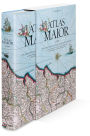


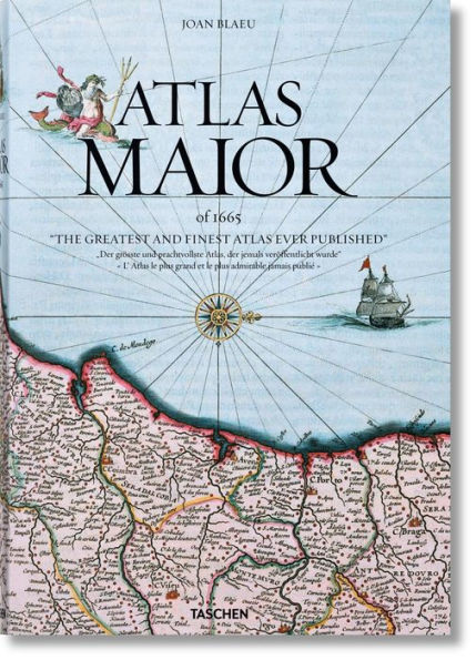
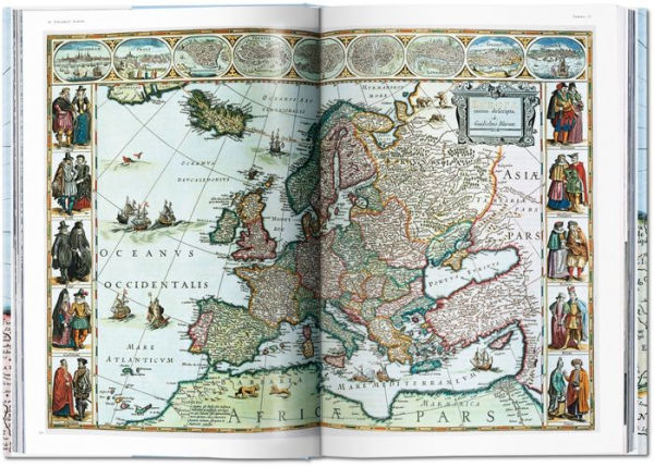

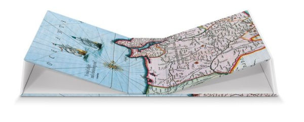

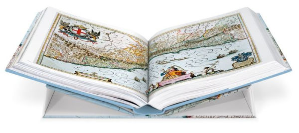
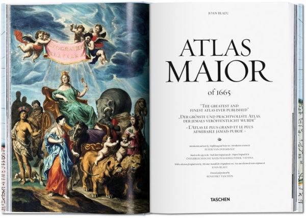
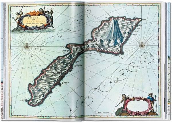
Joan Blaeu. Atlas Maior of 1665
512Hardcover(Multilingual Edition)
$80.00
80.0
In Stock

Product Details
| ISBN-13: | 9783836538039 |
|---|---|
| Publisher: | TASCHEN |
| Publication date: | 07/04/2016 |
| Edition description: | Multilingual Edition |
| Pages: | 512 |
| Sales rank: | 1,040,461 |
| Product dimensions: | 9.72(w) x 14.76(h) x (d) |
About the Author
From the B&N Reads Blog
Customer Reviews
Explore More Items
")
")
")
")


