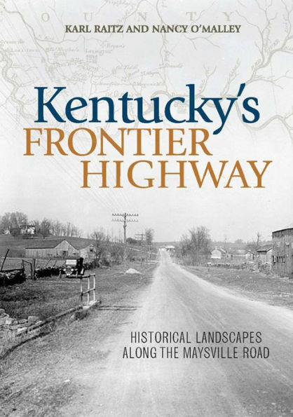
Kentucky's Frontier Highway: Historical Landscapes Along the Maysville Road

Kentucky's Frontier Highway: Historical Landscapes Along the Maysville Road

Kentucky's Frontier Highway: Historical Landscapes Along the Maysville Road

Kentucky's Frontier Highway: Historical Landscapes Along the Maysville Road

eBook

$29.99  $39.99 Save 25% Current price is $29.99, Original price is $39.99. You Save 25%.

Available on Compatible NOOK devices, the free NOOK App and in My Digital Library.
WANT A NOOK?  Explore Now

Related collections and offers

LEND ME® See Details

Overview

Eighteenth-century Kentucky beckoned to hunters, surveyors, and settlers from the mid-Atlantic coast colonies as a source of game, land, and new trade opportunities. Unfortunately, the Appalachian Mountains formed a daunting barrier that left only two primary roads to this fertile Eden. The steep grades and dense forests of the Cumberland Gap rendered the Wilderness Road impassable to wagons, and the northern route extending from southeastern Pennsylvania became the first main thoroughfare to the rugged West, winding along the Ohio River and linking Maysville to Lexington in the heart of the Bluegrass.

Kentucky's Frontier Highway reveals the astounding history of the Maysville Road, a route that served as a theater of local settlement, an engine of economic development, a symbol of the national political process, and an essential part of the Underground Railroad. Authors Karl Raitz and Nancy O'Malley chart its transformation from an ancient footpath used by Native Americans and early settlers to a central highway, examining the effect that its development had on the evolution of transportation technology as well as the usage and abandonment of other thoroughfares, and illustrating how this historic road shaped the wider American landscape.


Product Details

ISBN-13: 9780813140698
Publisher: University Press of Kentucky
Publication date: 11/15/2022
Sold by: Barnes & Noble
Format: eBook
Pages: 670
File size: 12 MB
Note: This product may take a few minutes to download.
Age Range: 18 Years

About the Author

Karl Raitz is professor of geography at the University of Kentucky. Nancy O'Malley is the assistant director of the William S. Webb Museum of Anthropology at the University of Kentucky.


Karl Raitz is professor emeritus of geography at the University of Kentucky and author of Bourbon’s Backroads: A Journey through Kentucky’s Distilling Landscape. He is coeditor of The Great Valley Road of Virginia: Shenandoah Landscapes from Prehistory to the Present and coauthor of Rock Fences of the Bluegrass.
Nancy O’Malley is the assistant director of the William S. Webb Museum of Anthropology at the University of Kentucky.

Table of Contents

Reading America's Roads
Travelling the Road
Coming to Kentucky
Regional Context
Road Evolution
Indian Paths and Buffalo Traces
Pioneer Roads
Turnpike Road
State and Federal Highway
From Turnpike to Parkway
The Road as a Corridor of Complexity
Lexington to Paris
The Original Limestone Trace—A Side Trip on Bryan Station Road
The City-to-Country Transition
Gentleman Farms and the Inner Bluegrass Landscape
Siting Paris
Side Trip: High Street from the Bourbon County Courthouse to the Juncture of High and Main streets
Nineteenth-Century Paris
Paris to Blue Licks
Millersburg
The Eden Shale Hills
Blue Licks
Commemoration, Heritage, and a Battlefield Park
Blue Licks to Maysville
Fairview and Ewing
Fairview to Maysville
The Outer Bluegrass
Mayslick—The Asparagus Bed of Mason County
Old Washington
Slavery and the Underground Railroad
Intersections and Commercial Roadside Development
Maysville
Living with the River
East Maysville
The Changing Landscape of Mobility

From the B&N Reads Blog

Customer Reviews