


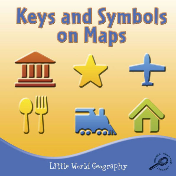
K-Gr 2-Each spread in these early readers provides a sentence or two, often in rhyming text, opposite a full-page, stock color photo or illustration. While the books are attractive, Keys, Maps, and North are often more concerned with making the text rhyme than with providing useful information. The tidbits don’t add up to any substance, and will not teach children how to use the navigation aids. The illustrations in Keys often feature computer-generated images that resemble overhead views of architectural models rather than maps. The texts are often oversimplified. Maps might lead children to believe that only world maps have cardinal directions, as it shows a world map whose caption reads, “North is above an imaginary line called the equator.” The other books offer useful introductions with some pleasant surprises. Continents, for example, encourages children to find the various landmasses on maps, while providing memorable facts, and Landforms describes the genesis of u-shaped and v-shaped valleys.
5
1
1.95
In Stock

Editorial Reviews
Product Details
| BN ID: | 2940170452590 |
|---|---|
| Publisher: | Rourke Publishing, LLC |
| Publication date: | 08/01/2009 |
| Series: | Little World Geography |
| Edition description: | Unabridged |
| Age Range: | 5 - 8 Years |
Videos

From the B&N Reads Blog