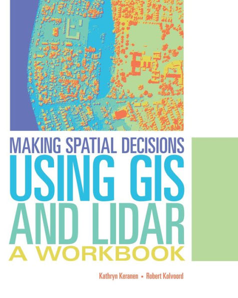
Making Spatial Decisions Using GIS and Lidar: A Workbook / Edition 1

Making Spatial Decisions Using GIS and Lidar: A Workbook / Edition 1

ISBN-10:
1589484290
ISBN-13:
9781589484290
Pub. Date:
10/14/2015
Publisher:
Esri Press
ISBN-10:
1589484290
ISBN-13:
9781589484290
Pub. Date:
10/14/2015
Publisher:
Esri Press
Making Spatial Decisions Using GIS and Lidar: A Workbook / Edition 1

Making Spatial Decisions Using GIS and Lidar: A Workbook / Edition 1

$79.99 Current price is , Original price is $79.99. You
$79.99 
  • SHIP THIS ITEM
    Qualifies for Free Shipping
  • PICK UP IN STORE
    Check Availability at Nearby Stores
$79.99 
  • SHIP THIS ITEM

    Temporarily Out of Stock Online

    Please check back later for updated availability.

    • Condition: Good
    Note: Access code and/or supplemental material are not guaranteed to be included with used textbook.

Overview

The third book in the Making Spatial Decisions series, Making Spatial Decisions Using GIS and Lidar, focuses on scenario-based problem solving using an integrated workflow in ArcGIS® for Desktop. The scenarios in Making Spatial Decisions Using GIS and Lidar feature lidar as the primary data source and lidar-related analysis as the primary skill focus. Lidar is a powerful, and increasingly popular, data source used to create elevation and terrain models with very high accuracy.


Students and self-learners can use the exercises in this book to develop their GIS skills. Downloadable data and access to a 180-day trial of ArcGIS are available on the Esri Press Book Resources web page, esripress.esri.com/bookresources. Instructor resources are available by request.


Product Details

ISBN-13: 9781589484290
Publisher: Esri Press
Publication date: 10/14/2015
Series: Making Spatial Decisions , #3
Edition description: Workbook
Pages: 264
Sales rank: 1,079,612
Product dimensions: 10.00(w) x 8.00(h) x (d)

About the Author

Kathryn Keranen is an instructor in geographic science at James Madison Universityand the cofounder of the award-winning Geospatial Semester.

Robert Kolvoord serves as dean of the College of Integrated Science and Engineering and as a professor of integrated science and technology at James Madison University. With Kathryn Keranen, he is a cofounder of the Geospatial Semester. Kolvoord also researches the impact of geospatial technologies on the spatial thinking skills of students.

Table of Contents

Preface
Acknowledgements
Introduction

Module 1: Basic lidar techniques
Project 1: Baltimore, Maryland
Project 2: San Francisco, California
Project 3: On your own

Module 2: 2D and 3D models (raster and terrain)
Project 1: Baltimore, Maryland
Project 2: San Francisco, California
Project 3: On your own

Module 3: Volumetric analysis and shadow maps
Project 1: Baltimore, Maryland
Project 2: San Francisco, California
Project 3: On your own

Module 4: Visibility analysis comparison
Project 1: Baltimore, Maryland
Project 2: San Francisco, California
Project 3: On your own

Module 5: Surging seas
Project 1: Baltimore, Maryland
Project 2: San Francisco, California
Project 3: On your own

Module 6: Corrected 3D campus modeling
Project 1: James Madison University, Harrisonburg, Virginia
Project 2: University of San Francisco, California
Project 3: On your own


Module 7: Location of solar panels
Project 1: James Madison University, Harrisonburg, Virgina
Project 2: University of San Francisco, California
Project 3: On your own

Module 8: Shoreline change after Hurricane Sandy
Project 1: Deal, New Jersey
Project 2: Pelham Manor, New York
Project 3: On your own

Module 9: Forest vegetation height
Project 1: George Washington National Forest, Virginia
Project 2: Michaux State Forest, Pennsylvania
Project 3: On your own

Module 10: Depressional wetland delineation from lidar
Project 1: Wakulla, Florida
Project 2: Pasco County, Florida
Project 3: On your own

Image and data credits
Data license agreement
From the B&N Reads Blog

Customer Reviews