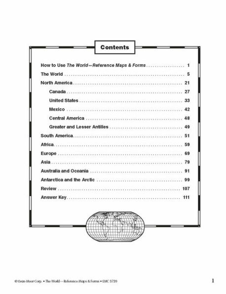
The World—Reference Maps & Forms contains 92 maps, evaluation forms, a crossword puzzle, a word search, and an answer key.
The first section, The World, includes:
- an introduction of general facts about the world
- a list of 192 countries in the world
- a reference political map of the continents
- a blank world map
- Robinson and Mercator projection maps
- globes, showing hemispheres, parallels, and meridians
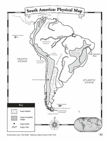
- maps of oceans, rivers, mountain ranges, and deserts
The second section, The Continents, includes:
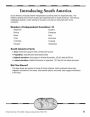
North America:
- an introduction, listing the countries, area, population, elevations, and fun facts about the continent
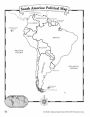
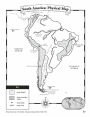
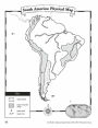
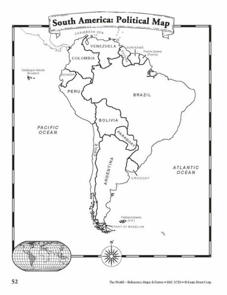
- reference political and physical maps of North America, Canada, the United States, and Mexico
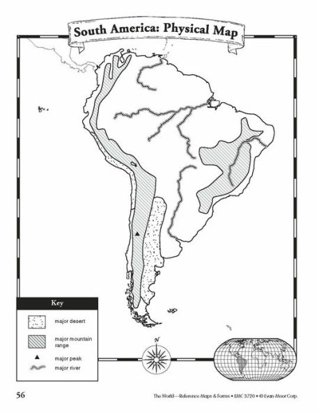
- blank outline maps of North America, Canada, the United States, and Mexico—shape, political, and physical
- study maps of each region of the United States and Mexico and the provinces and territories of Canada
- a reference map of six regions of the United States
- study maps of Central America, the Greater Antilles, and a reference map of the Lesser Antilles
Africa, Europe, Asia, and Australia
- an introduction, listing the countries, area, population, elevations, and fun facts about the continent
- a reference political and a physical map of the continent (a political map of Oceania is included with Australia)
- blank outline maps of the continent—shape, political, and physical
- study maps of regions of the continent
Antarctica and the Arctic Region
- an introduction, listing the area, elevations, and fun facts about the continent
- reference polar projection maps of Antarctica and the Arctic Region
- a reference map of the scientific stations in Antarctica
- blank outline projection maps of Antarctica and the Arctic Region
This resource contains teacher support pages, reproducible student pages, and an answer key. This is a reproducible resource (photocopying of lessons is permitted) for single classroom or individual home use only.
About Evan-Moor
A leader in PreK–8 educational publishing, Evan-Moor has been a trusted partner of teachers and parents for over 40 years. Our mission is helping children learn, and we do this by creating resources that motivate children to learn important skills and concepts across the curriculum while also inspiring a love of learning.