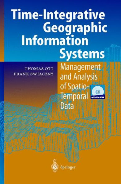
Time-Integrative Geographic Information Systems: Management and Analysis of Spatio-Temporal Data

Time-Integrative Geographic Information Systems: Management and Analysis of Spatio-Temporal Data

Time-Integrative Geographic Information Systems: Management and Analysis of Spatio-Temporal Data

Time-Integrative Geographic Information Systems: Management and Analysis of Spatio-Temporal Data

Hardcover(2001)

$109.99 
  • SHIP THIS ITEM
    Qualifies for Free Shipping
  • PICK UP IN STORE
    Check Availability at Nearby Stores

Related collections and offers


Overview

The book deals with the integration of temporal information in Geographic Information Systems. The main purpose of an historical or time-integrative GIS is to reproduce spatio- temporal processes or sequents of events in the real world in the form of a model. The model thus making them accessible for spatial query, analysis and visualization. This volume reflects both theoretical thoughts on the interrelations of space and time, as well as practical examples taken from various fields of application (e.g. business data warehousing, demographics, history and spatial analysis).

Product Details

ISBN-13: 9783540410164
Publisher: Springer Berlin Heidelberg
Publication date: 03/26/2001
Edition description: 2001
Pages: 234
Product dimensions: 6.10(w) x 9.25(h) x 0.36(d)

Table of Contents

1 Introduction.- 1.1 The relationship of space and time.- 1.2 Targets and contents of the book.- 1.3 Further Reading.- 2 Conceptualising real world entities in spatio-temporal GIS.- 2.1 The geographer’s perspective on space and time.- 2.2 Modelling the real world in Geographic Information Systems.- 2.3 The representation of space in GIS.- 2.4 Integration of external models in Geographic Information Systems.- 2.5 Spatio-temporal dimensions in GIS.- 3 Integrating time in Geographic Information Systems.- 3.1 Different types of time.- 3.2 Conceptualising time in GIS.- 3.3 Event and database time.- 3.4 Version management.- 3.5 Types of temporal databases.- 4 Implementation of time in GIS.- 4.1 Implementation problems.- 4.2 Project design.- 4.3 Implementation constraints.- 4.3.2 Spatio-temporal GIS approaches.- 5 Processing and analysis of temporal data inside a GIS.- 5.1 Common GIS analysis functions.- 5.2 Spatial and thematic queries.- 5.3 Temporal queries.- 5.4 Process analysis and simulation.- 6 The visualization of spatio-temporal processes.- 6.1 Basic concepts of spatio-temporal visualisation.- 6.2 Displaying time on a map.- 6.3 Multidimensional GIS.- 6.4 GIS and Multimedia.- 7 Examples.- 7.1 Building a historical GIS.- 7.2 Studying historical transport networks.- 7.3 Exploring cultural landscape change.- 7.4 Working with cadastres.- 7.5 Predicting wildfires.- 7.6 Mapping urban growth.- 7.7 Reconstructing archaeological excavations.- 7.8 Mining for business data.- 8 Conclusion.- 8.1 Summary.- 8.2 Outlook.- 9 Appendix.- 9.1 Research bibliography.- 9.2 Internet links.- CD-ROM with examples / code from the book.
From the B&N Reads Blog

Customer Reviews