From the Publisher
"A recommended series to help students appreciate the language and importance of maps."—School Library Journal, Series Made Simple

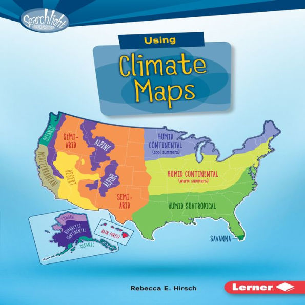
Ever wonder which states are the cloudiest? Or what city gets the most snow? Climate maps can tell you. They show average weather conditions-in your neighborhood, around the world, or even on Mars! But how do you read a climate map? And how are these maps made? Read on to learn the details!
Ever wonder which states are the cloudiest? Or what city gets the most snow? Climate maps can tell you. They show average weather conditions-in your neighborhood, around the world, or even on Mars! But how do you read a climate map? And how are these maps made? Read on to learn the details!


FREE
with a B&N Audiobooks Subscription

| BN ID: | 2940170135868 |
|---|---|
| Publisher: | Lerner Publishing Group |
| Publication date: | 01/01/2018 |
| Series: | Searchlight Books¿ - What Do You Know about Maps? |
| Edition description: | Unabridged |
| Age Range: | 8 - 11 Years |